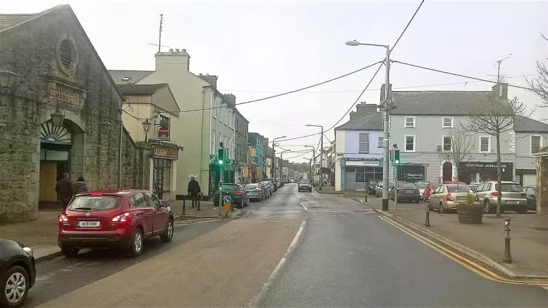
PlacesCastlerea Market
150 m NNE
Darren J. Prior · 2018 · CC BY-SA 4.0
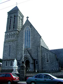
Cold limestone outside. Warm and coloured inside.
National Inventory of Architectural Heritage · NIAH survey · © Department of Housing, Local Government and Heritage. Reproduced for educational use with credit. · ark:/99999/castp
each one sourced
From where you are standing, 3 things to find
Built in 1896 to a design by George Goldie. Cruciform, gable-fronted, with nave, transepts and side aisles.
The appraisal notes the contrast deliberately: The interior of the church is warm, bright and colourful, being in direct contrast to the limestone exterior.
Walking directions to this place
Drawn from OpenStreetMap, ODbL · monument positions from the SMR · Two fingers move the map; one finger scrolls the page.
24 of 140
Darren J. Prior · 2018 · CC BY-SA 4.0
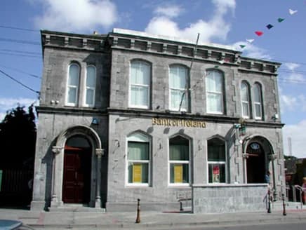
National Inventory of Architectural Heritage · NIAH survey · © Department of Housing, Local Government and Heritage. Reproduced for educational use with credit.
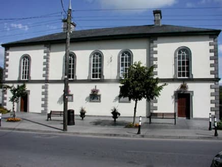
National Inventory of Architectural Heritage · NIAH survey · © Department of Housing, Local Government and Heritage. Reproduced for educational use with credit.
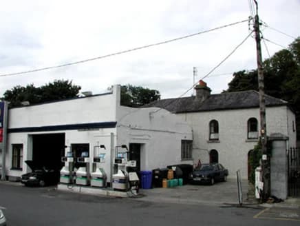
National Inventory of Architectural Heritage · NIAH survey · © Department of Housing, Local Government and Heritage. Reproduced for educational use with credit.
No photograph of this exists. The land from above, at its own coordinates.
No photograph of this exists. The land from above, at its own coordinates.
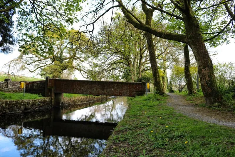
Marie McAleer · 2020 · CC BY-SA 2.0
No photograph of this exists. The land from above, at its own coordinates.
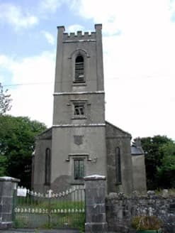
National Inventory of Architectural Heritage · NIAH survey · © Department of Housing, Local Government and Heritage. Reproduced for educational use with credit.
No photograph of this exists. The land from above, at its own coordinates.
No photograph of this exists. The land from above, at its own coordinates.
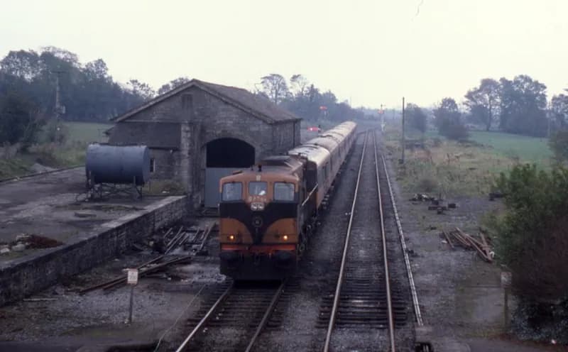
Phil Richards · 1985 · CC BY-SA 2.0
No photograph of this exists. The land from above, at its own coordinates.
No photograph of this exists. The land from above, at its own coordinates.
No photograph of this exists. The land from above, at its own coordinates.
No photograph of this exists. The land from above, at its own coordinates.
No photograph of this exists. The land from above, at its own coordinates.
No photograph of this exists. The land from above, at its own coordinates.
No photograph of this exists. The land from above, at its own coordinates.
No photograph of this exists. The land from above, at its own coordinates.
No photograph of this exists. The land from above, at its own coordinates.
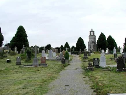
National Inventory of Architectural Heritage · NIAH survey · © Department of Housing, Local Government and Heritage. Reproduced for educational use with credit.
No photograph of this exists. The land from above, at its own coordinates.
No photograph of this exists. The land from above, at its own coordinates.