CrossCrossHarristown
420 m SSWRO026-042
No photograph of this exists. The land from above, at its own coordinates.
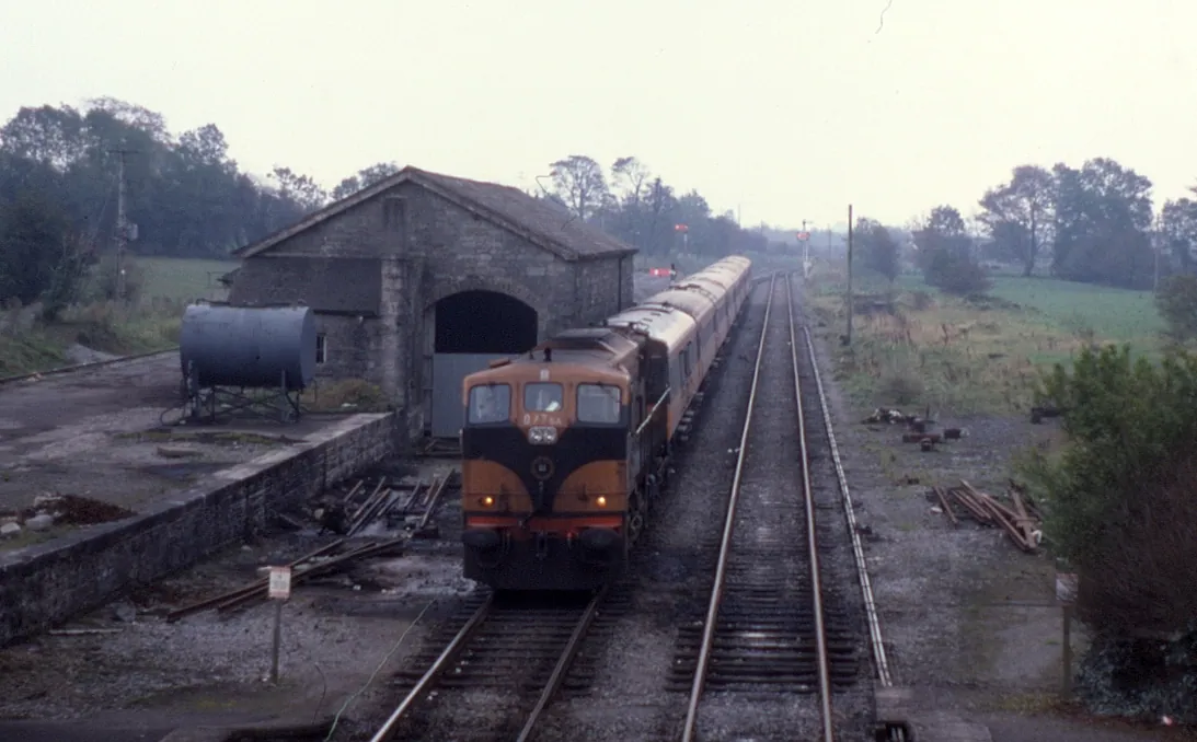
The State's own record says a company built this 65 years too early.
Phil Richards · 1985 · CC BY-SA 2.0 · ark:/99999/c4rly
NIAH-31814046 · STATUTE-GSR-1925
From where you are standing, 3 things to find
The national inventory describes this complex as built c.1860 by Great Southern Railways as part of the Sligo-Westport line.
Great Southern Railways did not exist in 1860. It was created by the Great Southern Railways Amalgamation Scheme of 1925, under the Railways Act 1924.
Two sources disagree
Built c.1860 by Great Southern Railways as part of the Sligo-Westport line.
National Inventory of Architectural Heritage · checked 2026-08-01Great Southern Railways was constituted in 1925 and cannot have built anything in 1860.
Irish Statute Book · checked 2026-08-01A tier 1 source is wrong. We publish the correction, cite both, and report it upstream rather than repeating the error in nine languages.
This is why the corpus exists. A platform that copies the inventory verbatim would carry the mistake into every language and into the voice guide.
National Inventory of Architectural HeritageIrish Statute Book
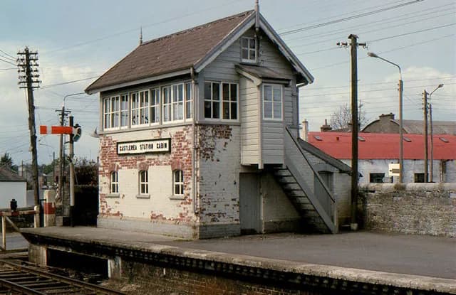
Albert Bridge · CC BY-SA 2.0
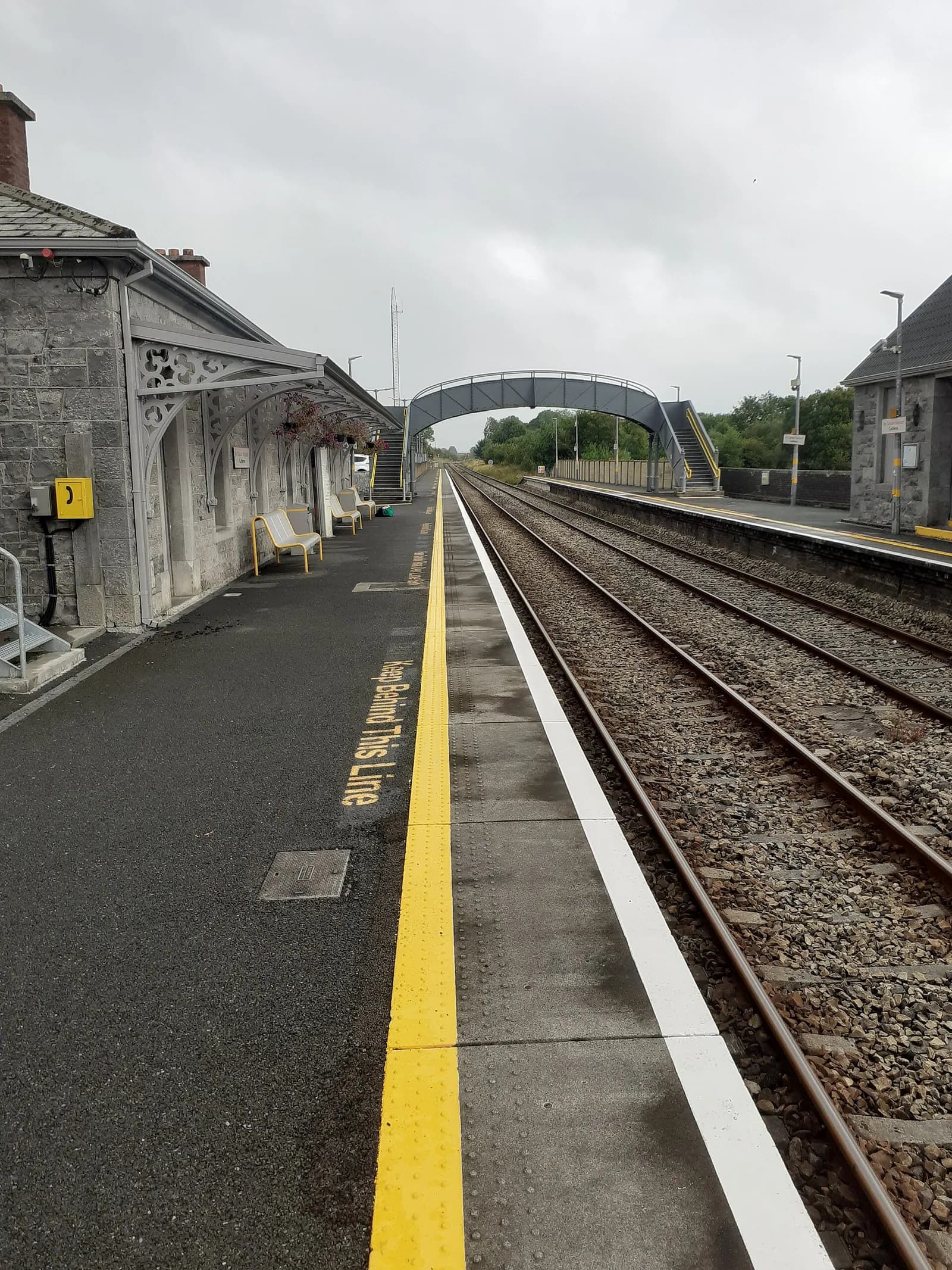
Darren J. Prior · CC BY-SA 4.0
The signal cabin in 1982, and the platform in 2019. Everything the inventory lists as surviving fabric — the timber and glass cabin, the cast-iron steps — was photographed by a passing enthusiast four decades ago, and nobody has photographed it since.
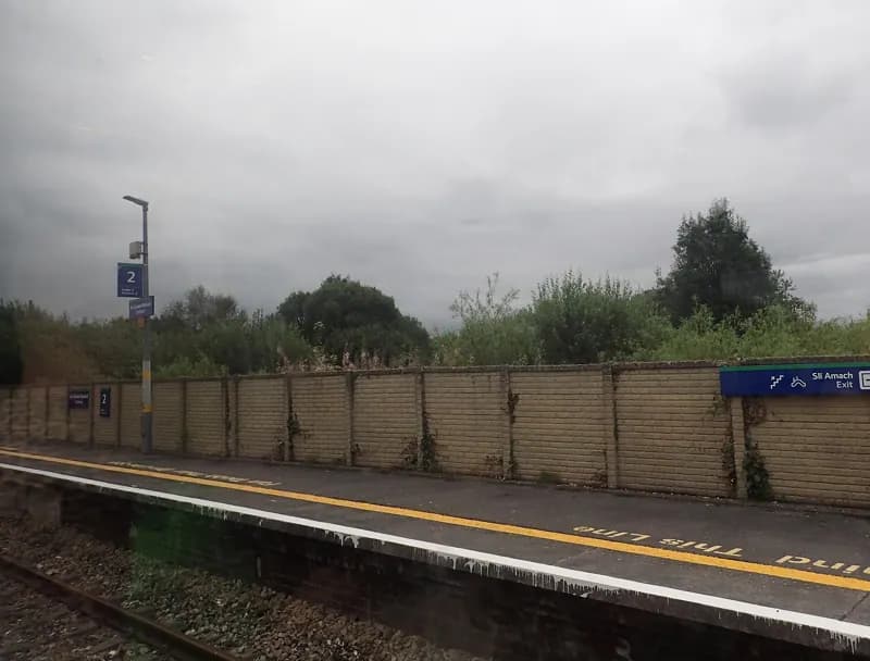
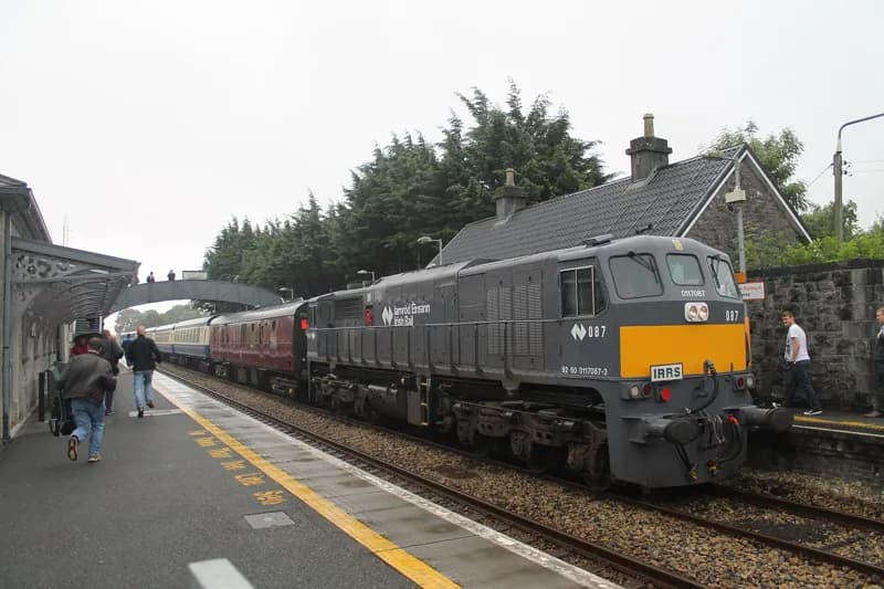
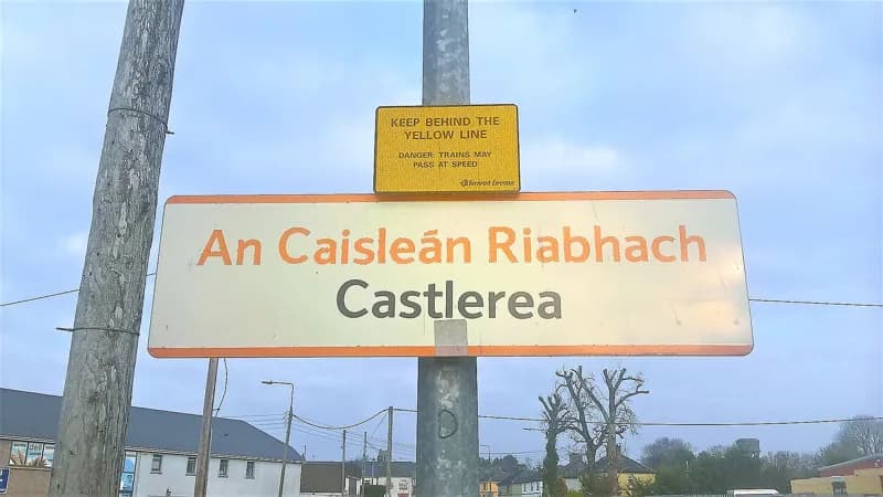
Socially, the railway is of the utmost importance to small towns, providing a network of travel for both people and produce.Walking directions to this place
Drawn from OpenStreetMap, ODbL · monument positions from the SMR · Two fingers move the map; one finger scrolls the page.
24 of 140
No photograph of this exists. The land from above, at its own coordinates.
National Inventory of Architectural Heritage · NIAH survey · © Department of Housing, Local Government and Heritage. Reproduced for educational use with credit.
National Inventory of Architectural Heritage · NIAH survey · © Department of Housing, Local Government and Heritage. Reproduced for educational use with credit.
No photograph of this exists. The land from above, at its own coordinates.
No photograph of this exists. The land from above, at its own coordinates.
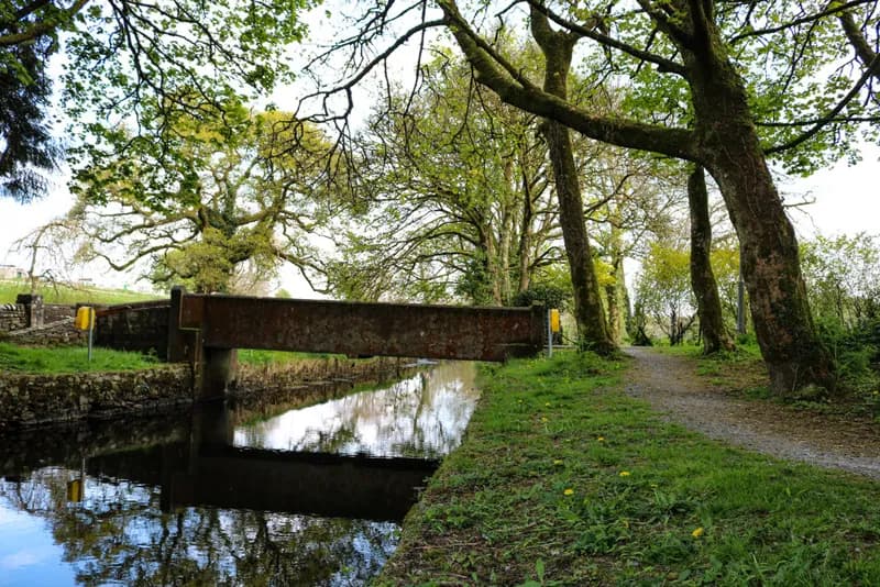
Marie McAleer · 2020 · CC BY-SA 2.0
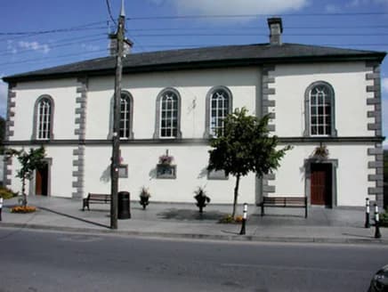
National Inventory of Architectural Heritage · NIAH survey · © Department of Housing, Local Government and Heritage. Reproduced for educational use with credit.
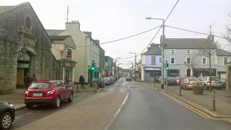
Darren J. Prior · 2018 · CC BY-SA 4.0
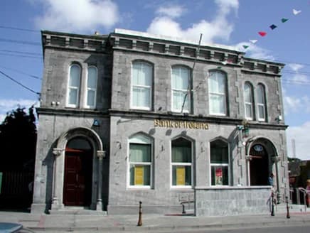
National Inventory of Architectural Heritage · NIAH survey · © Department of Housing, Local Government and Heritage. Reproduced for educational use with credit.
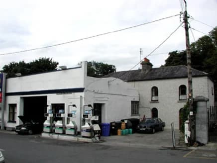
National Inventory of Architectural Heritage · NIAH survey · © Department of Housing, Local Government and Heritage. Reproduced for educational use with credit.
No photograph of this exists. The land from above, at its own coordinates.
No photograph of this exists. The land from above, at its own coordinates.
No photograph of this exists. The land from above, at its own coordinates.
No photograph of this exists. The land from above, at its own coordinates.
No photograph of this exists. The land from above, at its own coordinates.
No photograph of this exists. The land from above, at its own coordinates.
No photograph of this exists. The land from above, at its own coordinates.
No photograph of this exists. The land from above, at its own coordinates.
No photograph of this exists. The land from above, at its own coordinates.
No photograph of this exists. The land from above, at its own coordinates.
No photograph of this exists. The land from above, at its own coordinates.
No photograph of this exists. The land from above, at its own coordinates.
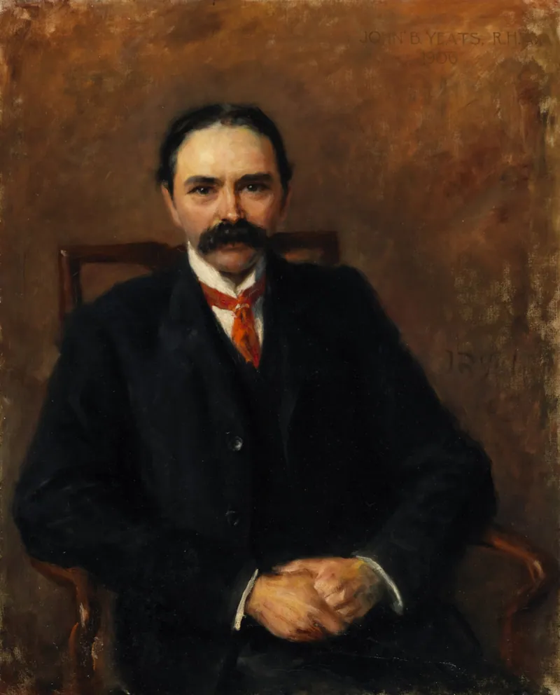
John Butler Yeats · 1906 · Public domain
No photograph of this exists. The land from above, at its own coordinates.