GraveyardGrave YardDemesne
160 m NNWRO026-035002
No photograph of this exists. The land from above, at its own coordinates.
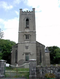
He was baptised in this church. It is empty now.
National Inventory of Architectural Heritage · NIAH survey · © Department of Housing, Local Government and Heritage. Reproduced for educational use with credit. · ark:/99999/c2trn
each one sourced
From where you are standing, 3 things to find
Built in 1819 to a standard Board of First Fruits design — the pattern used across Ireland for Church of Ireland parish churches of the period.
The inventory records its current status in one word: vacant.
The parish is older than the building. Logainm gives its name as Cill Chaoimhín, the church of Caoimhín, and in 1938 three schoolchildren in Castlerea wrote down what they had been told about that church.
National Folklore Collection, University College DublinNational Folklore Collection, University College DublinNational Folklore Collection, University College Dublin
Seán Cribbin, of the Hanly Memorial school, wrote: St. Caoimhin is our local patron Saint. The Saint during his life time was remarkable for his holiness and he worked many miracles and built a fine church the ruins of which may be seen in Kilkeevin Graveyard.
National Folklore Collection, University College Dublin
Two sources disagree
Seán Cribbin, 1938: St Caoimhín himself built the church, and its ruins are in Kilkeevin graveyard.
National Folklore Collection, University College Dublin · checked 2026-08-06Esther Cooke, 1938: It is said that St. Patrick built a church in Kilkeevin and that he left a monk named Kevin in charge of the church and that is how it got it's name.
Two accounts written in the same town in the same school year, both testimony rather than record. We publish both and settle neither: what a place was told about itself is the thing being collected here.
Frank Kelly, of Caher, wrote that the chapel was destroyed by the Cromwellians, and that it had first stood on the east side of the Suck and was rebuilt on the west. He added that nobody then living, however old, could remember Mass being said in it.
The Holy Trinity Church, built to a standard Board of First Fruits design, is of social and historical value through its association with the first president of Ireland Douglas Hyde, who was baptised in this church.Walking directions to this place
Drawn from OpenStreetMap, ODbL · monument positions from the SMR · Two fingers move the map; one finger scrolls the page.
24 of 140
No photograph of this exists. The land from above, at its own coordinates.
No photograph of this exists. The land from above, at its own coordinates.
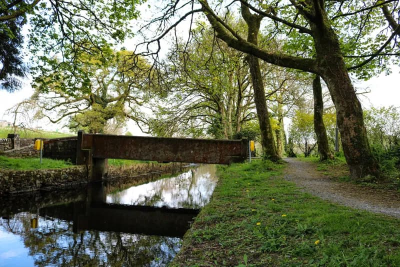
Marie McAleer · 2020 · CC BY-SA 2.0
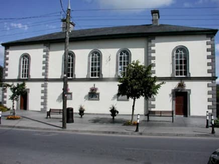
National Inventory of Architectural Heritage · NIAH survey · © Department of Housing, Local Government and Heritage. Reproduced for educational use with credit.
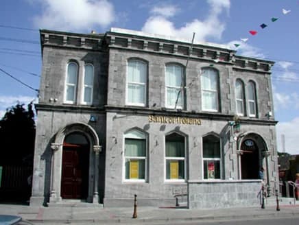
National Inventory of Architectural Heritage · NIAH survey · © Department of Housing, Local Government and Heritage. Reproduced for educational use with credit.
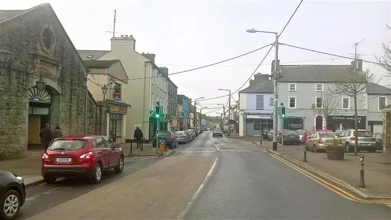
Darren J. Prior · 2018 · CC BY-SA 4.0
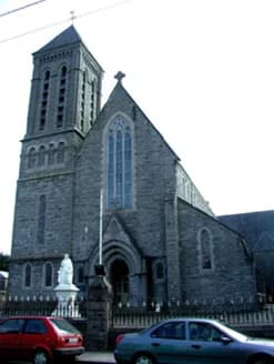
National Inventory of Architectural Heritage · NIAH survey · © Department of Housing, Local Government and Heritage. Reproduced for educational use with credit.
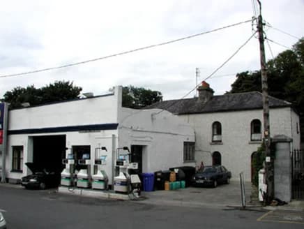
National Inventory of Architectural Heritage · NIAH survey · © Department of Housing, Local Government and Heritage. Reproduced for educational use with credit.
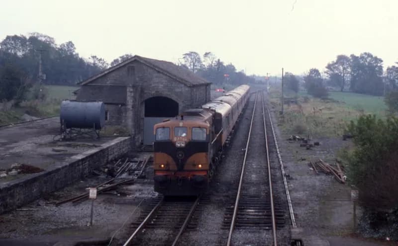
Phil Richards · 1985 · CC BY-SA 2.0
No photograph of this exists. The land from above, at its own coordinates.
No photograph of this exists. The land from above, at its own coordinates.
No photograph of this exists. The land from above, at its own coordinates.
No photograph of this exists. The land from above, at its own coordinates.
No photograph of this exists. The land from above, at its own coordinates.
No photograph of this exists. The land from above, at its own coordinates.
No photograph of this exists. The land from above, at its own coordinates.
No photograph of this exists. The land from above, at its own coordinates.
No photograph of this exists. The land from above, at its own coordinates.
No photograph of this exists. The land from above, at its own coordinates.
No photograph of this exists. The land from above, at its own coordinates.
No photograph of this exists. The land from above, at its own coordinates.
No photograph of this exists. The land from above, at its own coordinates.
No photograph of this exists. The land from above, at its own coordinates.
No photograph of this exists. The land from above, at its own coordinates.