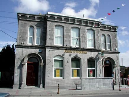
PlacesBank of Ireland, Market Square
60 m SE
National Inventory of Architectural Heritage · NIAH survey · © Department of Housing, Local Government and Heritage. Reproduced for educational use with credit.
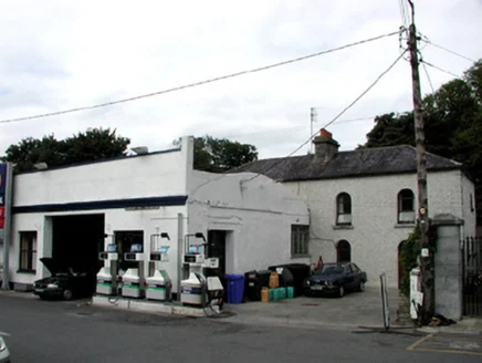
Somebody's front room used to be a jail.
National Inventory of Architectural Heritage · NIAH survey · © Department of Housing, Local Government and Heritage. Reproduced for educational use with credit. · ark:/99999/c6brd
each one sourced
From where you are standing, 2 things to find
Built around 1820 as a prison. Four bays, two storeys. It is a house now.
The appraisal, verbatim: Although this building has been considerably altered there are surviving features which stand as evidence of its former use as a jail, such as the cast-iron bars to the lunette windows.
Vaulted ceilings and a stone staircase survive inside — in a private home, so they are not on view.
Walking directions to this place
Drawn from OpenStreetMap, ODbL · monument positions from the SMR · Two fingers move the map; one finger scrolls the page.
24 of 140
National Inventory of Architectural Heritage · NIAH survey · © Department of Housing, Local Government and Heritage. Reproduced for educational use with credit.
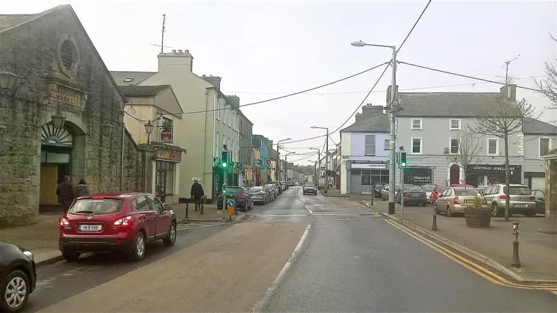
Darren J. Prior · 2018 · CC BY-SA 4.0
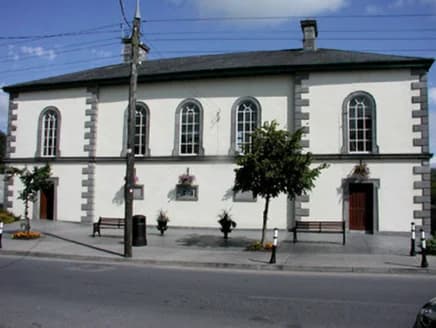
National Inventory of Architectural Heritage · NIAH survey · © Department of Housing, Local Government and Heritage. Reproduced for educational use with credit.
No photograph of this exists. The land from above, at its own coordinates.
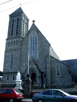
National Inventory of Architectural Heritage · NIAH survey · © Department of Housing, Local Government and Heritage. Reproduced for educational use with credit.
No photograph of this exists. The land from above, at its own coordinates.
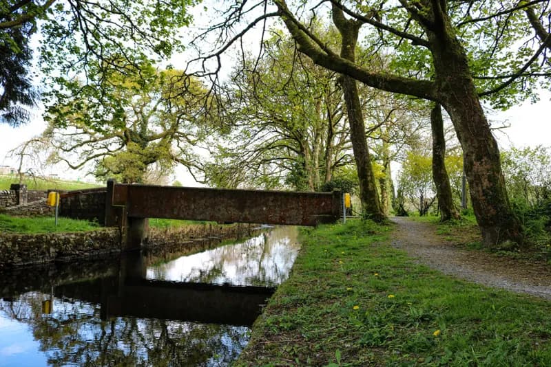
Marie McAleer · 2020 · CC BY-SA 2.0
No photograph of this exists. The land from above, at its own coordinates.
No photograph of this exists. The land from above, at its own coordinates.
No photograph of this exists. The land from above, at its own coordinates.
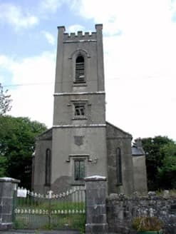
National Inventory of Architectural Heritage · NIAH survey · © Department of Housing, Local Government and Heritage. Reproduced for educational use with credit.
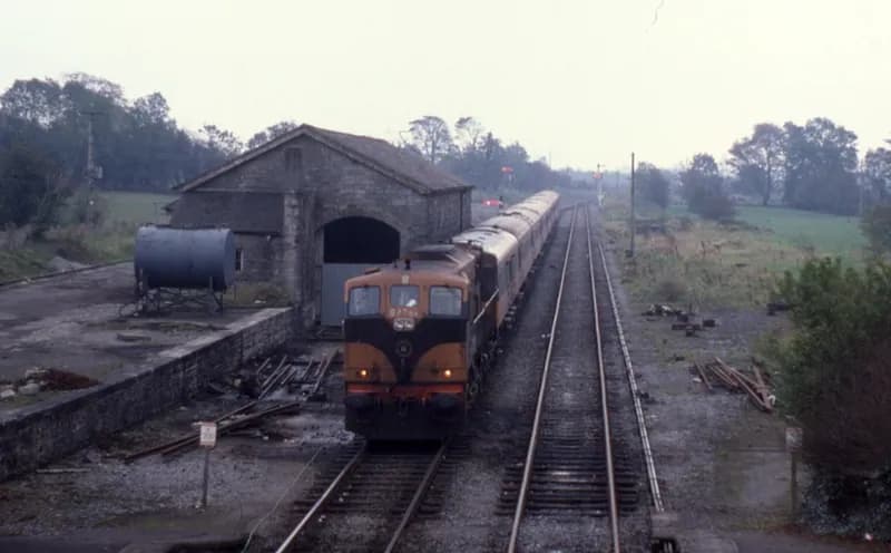
Phil Richards · 1985 · CC BY-SA 2.0
No photograph of this exists. The land from above, at its own coordinates.
No photograph of this exists. The land from above, at its own coordinates.
No photograph of this exists. The land from above, at its own coordinates.
No photograph of this exists. The land from above, at its own coordinates.
No photograph of this exists. The land from above, at its own coordinates.
No photograph of this exists. The land from above, at its own coordinates.
No photograph of this exists. The land from above, at its own coordinates.
No photograph of this exists. The land from above, at its own coordinates.
National Inventory of Architectural Heritage · NIAH survey · © Department of Housing, Local Government and Heritage. Reproduced for educational use with credit.
No photograph of this exists. The land from above, at its own coordinates.
No photograph of this exists. The land from above, at its own coordinates.
No photograph of this exists. The land from above, at its own coordinates.