ChurchChurchDemesne
0 m SRO026-035001
No photograph of this exists. The land from above, at its own coordinates.

Oscar Wilde's grandfather is buried here.
Marie McAleer · 2020 · CC BY-SA 2.0 · ark:/99999/c3dmg
each one sourced
From where you are standing, one thing to find
An enclosed Church of Ireland graveyard established around 1700, holding the site of the town's earlier church.
This graveyard is of particular interest as the remains of Thomas Wilde, grandfather of Oscar Wilde lie here.Walking directions to this place
Drawn from OpenStreetMap, ODbL · monument positions from the SMR · Two fingers move the map; one finger scrolls the page.
24 of 140
No photograph of this exists. The land from above, at its own coordinates.
No photograph of this exists. The land from above, at its own coordinates.
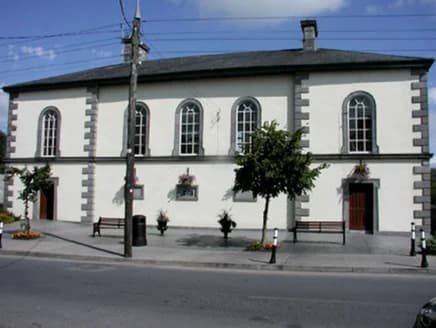
National Inventory of Architectural Heritage · NIAH survey · © Department of Housing, Local Government and Heritage. Reproduced for educational use with credit.
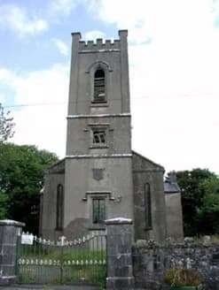
National Inventory of Architectural Heritage · NIAH survey · © Department of Housing, Local Government and Heritage. Reproduced for educational use with credit.
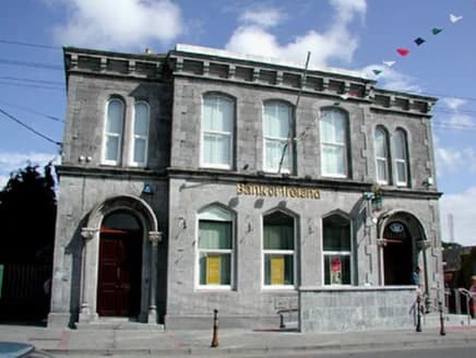
National Inventory of Architectural Heritage · NIAH survey · © Department of Housing, Local Government and Heritage. Reproduced for educational use with credit.
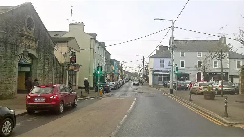
Darren J. Prior · 2018 · CC BY-SA 4.0
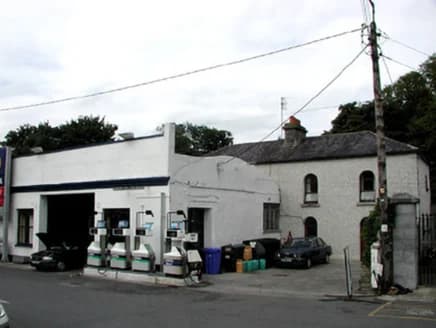
National Inventory of Architectural Heritage · NIAH survey · © Department of Housing, Local Government and Heritage. Reproduced for educational use with credit.
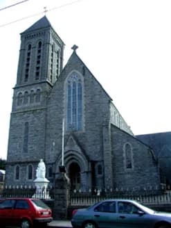
National Inventory of Architectural Heritage · NIAH survey · © Department of Housing, Local Government and Heritage. Reproduced for educational use with credit.
No photograph of this exists. The land from above, at its own coordinates.
No photograph of this exists. The land from above, at its own coordinates.
No photograph of this exists. The land from above, at its own coordinates.
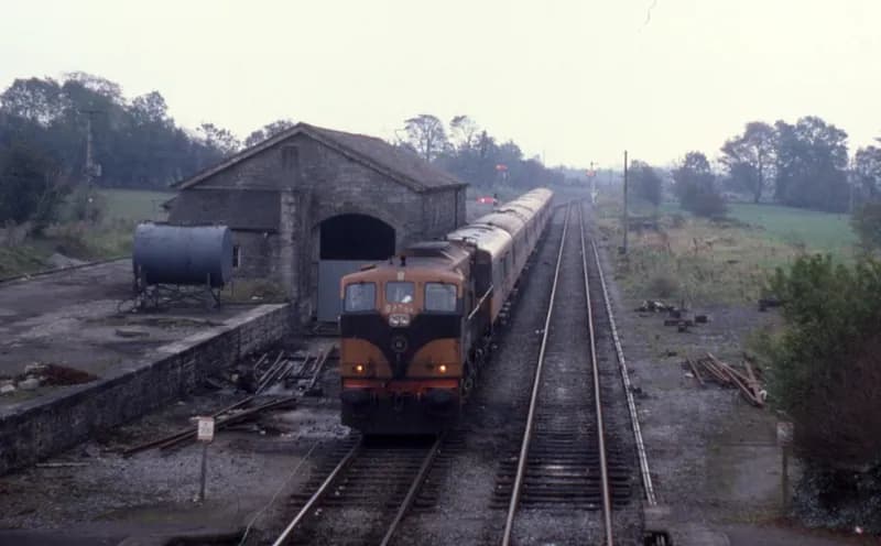
Phil Richards · 1985 · CC BY-SA 2.0
No photograph of this exists. The land from above, at its own coordinates.
No photograph of this exists. The land from above, at its own coordinates.
No photograph of this exists. The land from above, at its own coordinates.
No photograph of this exists. The land from above, at its own coordinates.
No photograph of this exists. The land from above, at its own coordinates.
No photograph of this exists. The land from above, at its own coordinates.
No photograph of this exists. The land from above, at its own coordinates.
No photograph of this exists. The land from above, at its own coordinates.
No photograph of this exists. The land from above, at its own coordinates.
No photograph of this exists. The land from above, at its own coordinates.
No photograph of this exists. The land from above, at its own coordinates.
No photograph of this exists. The land from above, at its own coordinates.