Hut siteEmbanked enclosureArm
170 m WRO026-022
No photograph of this exists. The land from above, at its own coordinates.
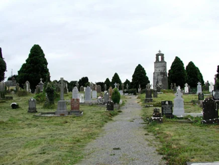
This church said its last mass in 1898 and has stood open ever since.
National Inventory of Architectural Heritage · NIAH survey · © Department of Housing, Local Government and Heritage. Reproduced for educational use with credit. · ark:/99999/cbstj
NIAH-31814001
From where you are standing, 3 things to find
A Roman Catholic graveyard established in 1798, later extended westward, with the ruin of the former church inside it.
The appraisal, verbatim: The distinctive mausoleum of Peter Kelly and the remains of the renowned O' Connor Dons, descendants of the last High Kings of Ireland, add a historical dimension to the graveyard.
The O'Connor Donns have a lot in it and some of them are buried there. Recently the Kellys of the Square built a vault there. The State inventory records the same two things, from the other direction and sixty years later.National Folklore Collection, University College DublinNational Inventory of Architectural Heritage
Walking directions to this place
Drawn from OpenStreetMap, ODbL · monument positions from the SMR · Two fingers move the map; one finger scrolls the page.
24 of 140
No photograph of this exists. The land from above, at its own coordinates.
No photograph of this exists. The land from above, at its own coordinates.
No photograph of this exists. The land from above, at its own coordinates.
No photograph of this exists. The land from above, at its own coordinates.
No photograph of this exists. The land from above, at its own coordinates.
No photograph of this exists. The land from above, at its own coordinates.
No photograph of this exists. The land from above, at its own coordinates.
No photograph of this exists. The land from above, at its own coordinates.
No photograph of this exists. The land from above, at its own coordinates.
No photograph of this exists. The land from above, at its own coordinates.
No photograph of this exists. The land from above, at its own coordinates.
No photograph of this exists. The land from above, at its own coordinates.
No photograph of this exists. The land from above, at its own coordinates.
No photograph of this exists. The land from above, at its own coordinates.
No photograph of this exists. The land from above, at its own coordinates.
No photograph of this exists. The land from above, at its own coordinates.
No photograph of this exists. The land from above, at its own coordinates.
No photograph of this exists. The land from above, at its own coordinates.
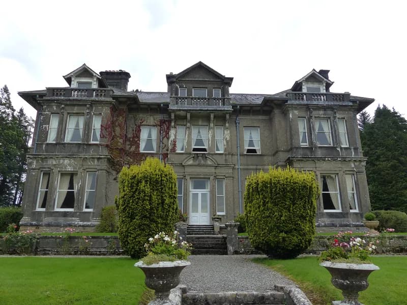
Jscaguiat · 2019 · CC BY-SA 4.0
No photograph of this exists. The land from above, at its own coordinates.
No photograph of this exists. The land from above, at its own coordinates.
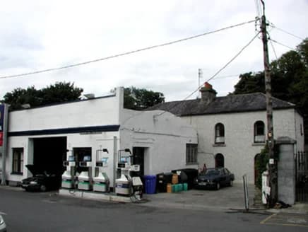
National Inventory of Architectural Heritage · NIAH survey · © Department of Housing, Local Government and Heritage. Reproduced for educational use with credit.
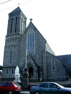
National Inventory of Architectural Heritage · NIAH survey · © Department of Housing, Local Government and Heritage. Reproduced for educational use with credit.
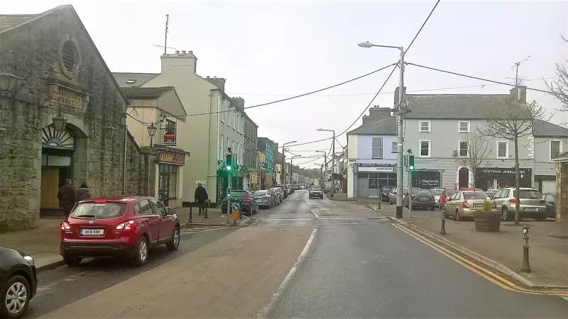
Darren J. Prior · 2018 · CC BY-SA 4.0